

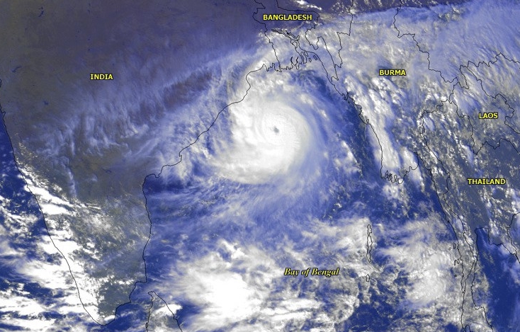
Updated: November 18, 2026, 11:37 am IST. Cyclone Akvan has intensified into a Severe Cyclonic Storm over the Bay of Bengal, the India Meteorological Department (IMD) said in National Bulletin No. 21, issued at 9:30 am IST on Wednesday. The latest bulletin forecasts that the system will cross the Andhra Pradesh and Yanam coasts between Nellore and Visakhapatnam around noon on November 20, with maximum sustained winds of 100–110 kmph and gusts up to 120 kmph.
Latest position and forecast
At 5:30 am IST on November 18, Akvan was centred near 12.7°N and 85.5°E over the central parts of the south and adjoining west-central Bay of Bengal. IMD placed it about 580 km east of Chennai, 610 km southeast of Machilipatnam, 610 km south-southeast of Visakhapatnam and 730 km south of Gopalpur. It had moved north-northwestwards at about 3 kmph over the preceding six hours.
The latest National Bulletin No. 21 forecasts landfall as a Severe Cyclonic Storm, with 100–110 kmph sustained winds and gusts to 120 kmph. This is a change from the earlier RSMC Advisory No. 12, issued on November 17, which had projected a possible very severe cyclonic storm with 120–130 kmph winds and gusts up to 145 kmph. The newer national bulletin is the basis for the forecast in this update; the track, timing and intensity remain subject to revision.
Rainfall, wind and storm-surge warnings
- Coastal Andhra Pradesh: IMD forecasts heavy to very heavy rain at a few places and isolated extremely heavy rainfall of 21 cm or more on November 19 and 20.
- Odisha: Heavy to very heavy rain is forecast in parts of the state on November 19 and 20, with isolated extremely heavy rainfall possible over south Odisha.
- Eastern Telangana: Heavy to very heavy rain is possible at isolated places on November 20 and 21.
- Coastal winds: Gale-force winds of 100–110 kmph, gusting to 120 kmph, are forecast along and off the Andhra Pradesh and Yanam coasts from the night of November 19 until landfall.
- Storm surge: IMD warns that a surge of 0.4–1.2 metres above the astronomical tide could inundate low-lying parts of Prakasam, Bapatla, Krishna, West Godavari, Konaseema, Kakinada and Visakhapatnam districts during landfall.
Fishermen and coastal safety
IMD has advised fishermen not to venture into the specified parts of the southeast, southwest, west-central, east-central and northwest Bay of Bengal during the dates listed in its bulletin. The department has also advised suspension of fishing operations in the affected sea areas, movement of coastal hutment residents to safer places where directed, and suspension or careful regulation of offshore and onshore operations.
Residents should follow the latest district administration and disaster-management advisories rather than rely on a forecast issued earlier in the day. The landfall time and location are forecasts, not a confirmation that landfall has occurred.
Official bulletins and sources
- IMD National Bulletin No. 21, issued 9:30 am IST, November 18, 2026
- IMD RSMC Tropical Cyclone Advisory No. 12, November 17, 2026
- Hindustan Times — live updates and coastal preparedness, November 18, 2026
- The New Indian Express — earlier forecast and Andhra preparedness, November 17, 2026
Image note: The featured image is a historical NOAA satellite image of the 1999 Odisha cyclone, used only as a representative Bay of Bengal cyclone image. It is not a satellite image of Cyclone Akvan.